
Teaching
Teaching
Teaching
2025


Introduces fundamental HCI topics, including need finding, prototyping, ethics, UI design, usability testing, and paper writing. Students conduct XR-based HCI projects with the goal of publishing academic papers.

Introduces GIS fundamentals and spatial data analysis through developing a map-based application using Geoserver, HTML, and CSS.

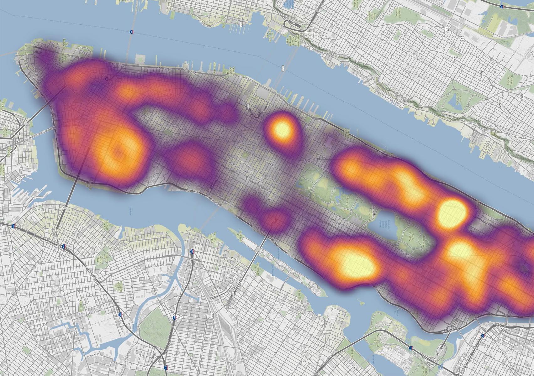
Introduce spatial statistics, particularly focus on spatial autocorrelation.
Graduate seminar on geoAI and geoHCI with literature-based discussions.
2024
Dive into data science using Python and learn how to effectively analyze and visualize research data.

Develop AR applications based on geographically relevant topics with HoloLens 2.
Introduces GIS fundamentals and spatial data analysis through developing a map-based application using Geoserver, HTML, and CSS.
Covers data manipulation with dplyr, statistical analysis, and visualization with ggplot2 in R.
2023
Develop AR applications based on geographically relevant topics with HoloLens 2.
Introduces GIS fundamentals and spatial data analysis through developing a map-based application using Geoserver, HTML, and CSS.
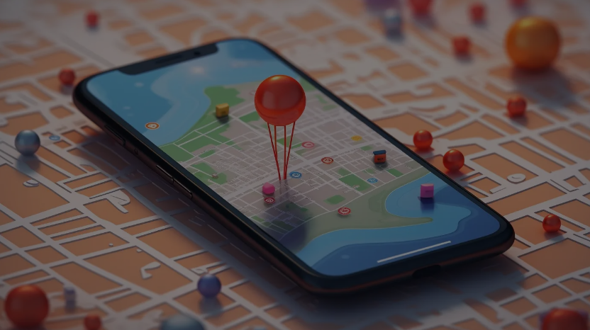
Develop a location-based Android app using Android Studio and the ArcGIS Maps API.
2022
Develop AR applications based on geographically relevant topics with HoloLens 2.
2021

Project-based course developing digital humanities projects with collaborative workflows.
2020
Project-based course developing digital humanities projects with collaborative workflows.

Responsibilities included discussions, organisation and proposal support.